Last week I spent five most enjoyable days walking the Hadrian's Wall Path (which became Britain's 15th National Trail in 2003). Early Monday morning I took a train to Newcastle, then a bus to Newburn on the city's western edge. I joined the trail at the Tyne Riverside Country Park. The sun shone, the river sparkled, and all seemed well with the world...
Soon the path coincided with the trackbed of the old Wylam Wagonway, one of the earliest railways ever built. Originally, in the 1750s, the wagons would have been drawn by horses along raised wooden tracks, but by 1815 these had been replaced by steam locomotives on iron rails. The trucks were transporting coal from the colliery at Wylam to the coal 'staithes' (or loading points) on the river Tyne five miles away. From here it was a case of 'keel boats' (or cargo boats) literally taking 'coals to Newcastle'...
Here's the site of the first Roman fort I came across - Rudchester or Vindobala...
There's little evidence of it on the ground. In fact all you can see is this grassy field fringed with nettles...
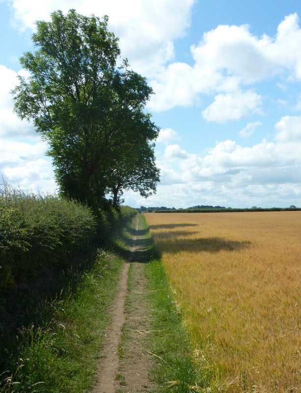
I climbed higher, up gentle gradients. Although the path shadowed a B road for much of the day, a high hedge often shielded the traffic. As I stepped further westward, the scenery improved little by little...
The path was an endless swathe of sweet-smelling cut grass, and the flowered field margins danced with bees and butterflies. Sometimes the path veered right, and sometimes left...
But most of the time it led straight on (note the acorn sign, the National Trail logo)...
As clouds gathered, I passed the Whittle Dene reservoirs...
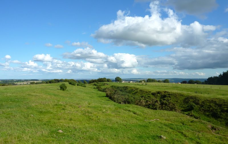
And still I searched in vain for the Wall. At one place I stumbled on a pile of stones, but didn't think they'd been cut square enough to have ever formed part of the Wall. Though that's definitely the Roman ditch behind...
(Hadrian's Wall was constructed with a ditch to the north, and a wider ditch and earth rampart to the south, known as the vallum.)